
The geographical delights of Port Eliot
Wednesday, 28 July, 2010. Filed under: Lie of the Land
I’ve been away for a few days at Port Eliot for Part 1 of my official launch of the BLC - Part 2 is at Camp Bestival this weekend at 6.20 pm in the tent of the East Lulworth Literary Institute, along with some Jurassic thoughts.
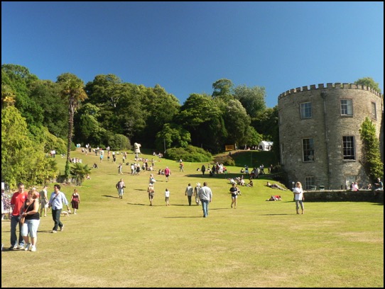
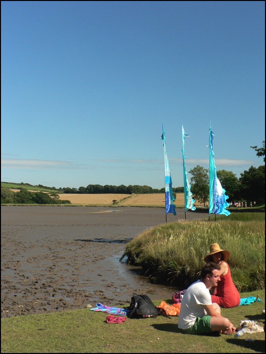
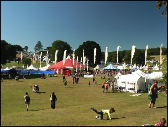
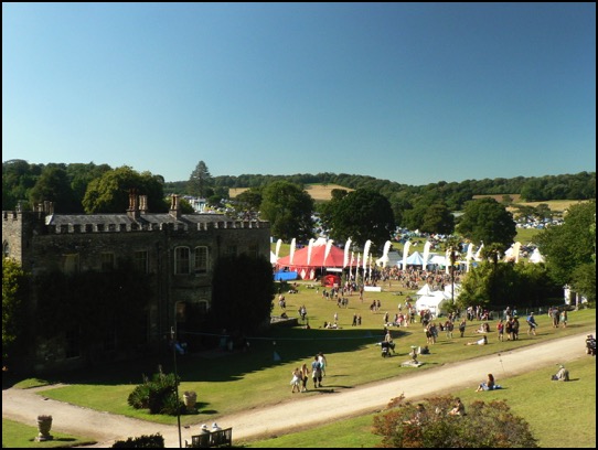
Maybe I’ll see you there, but in the meantime, here are some shots of the Port Eliot landscape and some thoughts about it. The immediate area is a complex one with hard volcanic lavas, ash and ‘tuffs’ making up a west-east ridge of high ground to the estuaries of the Rivers Tiddy and Lynher, while two separate areas of rough slate - which the Cornish refer to as ‘killas’ - run to the north and south of the ridge. The Caught by the River tent was situated in a small quarry which may have provided some killas for the estate walls. You can see the high ground in the first picture and its continuation on the far side of the Tiddy in the second picture - the line of trees mark the course of a cutting that takes the Great Western line towards Plymouth. The lava and ash made their way into the landscape during a time that Southern Britain and Scotland were being welded together around 400 or so million years ago and a Himalayan range of mountains was being formed to the North.
Maybe I’ll see you there, but in the meantime, here are some shots of the Port Eliot landscape and some thoughts about it. The immediate area is a complex one with hard volcanic lavas, ash and ‘tuffs’ making up a west-east ridge of high ground to the estuaries of the Rivers Tiddy and Lynher, while two separate areas of rough slate - which the Cornish refer to as ‘killas’ - run to the north and south of the ridge. The Caught by the River tent was situated in a small quarry which may have provided some killas for the estate walls. You can see the high ground in the first picture and its continuation on the far side of the Tiddy in the second picture - the line of trees mark the course of a cutting that takes the Great Western line towards Plymouth. The lava and ash made their way into the landscape during a time that Southern Britain and Scotland were being welded together around 400 or so million years ago and a Himalayan range of mountains was being formed to the North.
blog comments powered by Disqus