
Dec 2012
Park Pale
December 2012 Filed in: Human Landscapes | Lumps and Bumps
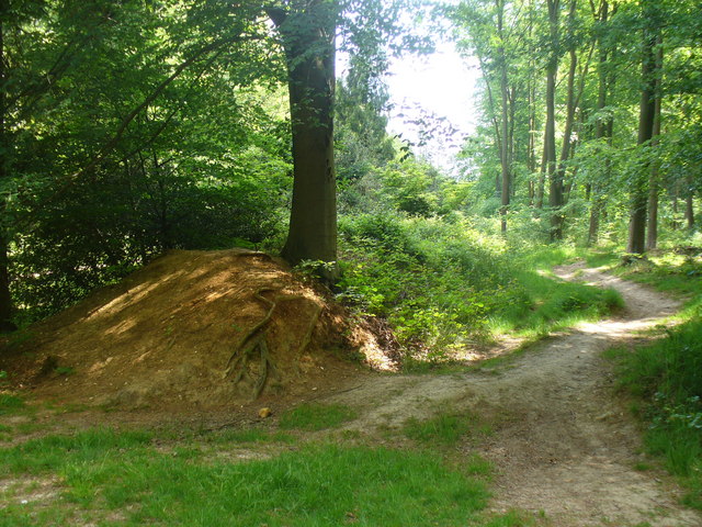
Low embankment, mostly covered in bushes, in Chawton Park Wood. The pale is probably an old royal park boundary and it could run alongside the alignment of a Roman road. Link
A familiar label, a ‘park pale’ – as rendered in Old English blackletter on Ordnance Survey maps – marks the ditch and bank that formed the boundary of a medieval deer park. On the ground they might still define an area of woodland pasture, while banks several metres wide, once surmounted by a palisade or, perhaps, still carrying a stone wall, can be substantial even after centuries. The ditch that runs on the inside of the bank is usually less distinct. Their design allowed deer to bound into the park, but prevented them from leaping out again, making the deer park like a huge, terrestrial lobster pot, harvesting meat for the aristocratic table.
It’s a fitting feature to investigate during the season of high octane food, not least because in the low-fat, calorie-counted, gastronomically-tightfisted twenty-first century, Christmas dinner is the closest most of us get to a proper medieval banquet – a seasonal version of which was likely to include venison, while the most kindly of lords might give their servants deer offal – or numbles – for baking into a numble pie.
The model on which the ornamental parks of the eighteenth century were based, the medieval deer park is a landscape tradition whose roots extend back to the Norman conquest. William the Conqueror, who was crowned as an English monarch on Christmas Day, 1066, famously created 36 Royal Forests in the twenty-one years of his reign, reflecting his enthusiasm for the chase. At first, keeping and hunting deer was exclusively the reserve of royalty, but licenses from the King gave members of the aristocracy and senior churchmen the right to hunt on their own lands and a mania for creating deer parks took hold. The remains of one such park – first recorded in 1291, but almost certainly older – can be seen on the eastern side of Lyndhurst in the New Forest, where the pale is 9 metres wide and its bank over a metre high. Another park pale is associated with Kenilworth Castle and Pleasance – Henry V’s manor house in Warwickshire – while the most outstanding example in Scotland is at Fettercairn in Aberdeenshire, where eight miles of pale around the King’s Deer Park may even pre-date the Norman conquest of England.
The frequent occurrence of the park pale on modern maps is a reflection of their ubiquity in medieval landscapes; deer parks covered as much as 2% of England at the start of the fourteenth century and had a political importance to match. While there was no shortage of deer parks, there were shortages of deer because noble huntsmen were rather good at killing their trapped quarry, quicker than they could be re-stocked by hapless deer bounding over the pale. With his large Royal Forests, the King could send deer to his more co-operative and influential lords.
Comments